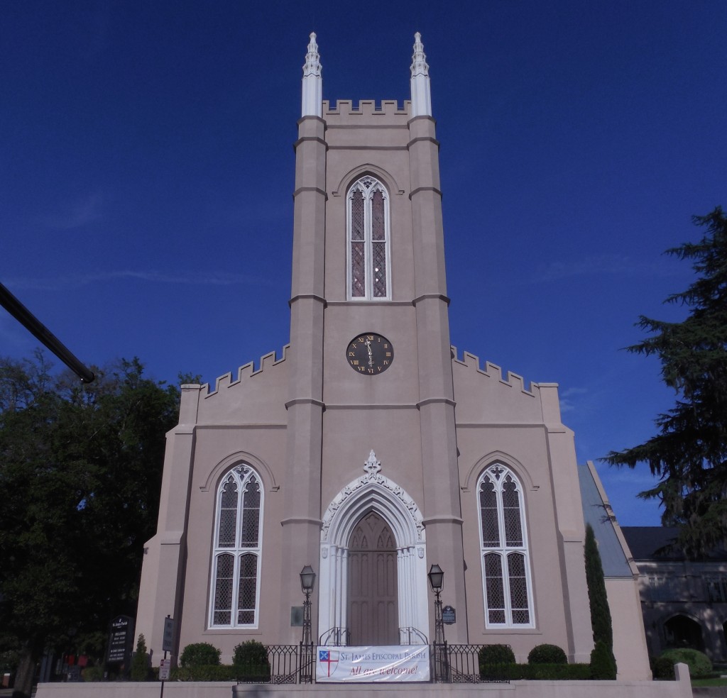
St. James’ Episcopal Church (Wilmington NC: 1839)
During the first half of the nineteenth century, Americans built extensive networks of transportation that scored the land with hundreds of miles of canals, roads and railroad tracks. As these physical emblems of technological development connected established cities with new towns and growing hubs of industrial development, other technological webs, including federal post roads and the services of private delivery businesses, added a second layer of communication throughout the states.
This dynamic landscape was recognized as a distinguishing characteristic of modern life by the country’s first self-proclaimed professional architects, who pursued avenues to practice that were more broad-reaching than those of any previous generation. Much less geographically bound than their Colonial forebears, nineteenth-century architects expanded their client base, entered competitions, made use of newspapers and communicated across state lines with clients and builders they would never meet, completing buildings that they would never see. Even so, the growing rail network still imposed certain nodes of concentration and areas of disconnection that are invisible to later travelers. The spatial reality of antebellum America influenced the early professionals and the ways they pursued jobs and practiced architecture.
This project proposes to research this dynamic landscape through the case study of Thomas U. Walter (1804-87). Walter provides a significant model as one of the country’s most active architects in this period: designer of hundreds of projects in several states (and also China and Venezuela), including prominent works in Philadelphia (Girard College) and Washington (additions to the Capitol). Walter used virtually every imaginable kind of conveyance, from horse-drawn wagons and steamboats to trains and sleighs, as well as post and parcel delivery services, in order to visit and communicate with clients and builders, oversee construction, observe quarries and foundries, and socialize with professional peers (especially as a co-founder of the American Institute of Architects); twice these travels took him overseas (Europe in 1838, Venezuela in 1841). Walter noted the details of his travel in office notebooks and journals, which not only record his movements but also his lively commentary on various means of conveyance.
This project will not only illuminate Walter’s practice but also contribute to an understanding of the problem of technological determinism in seeking the extent to which modes of conveyance (of people, materials and information) influenced the way architectural practice developed as it did—either as a determining, influencing, or coincidental relationship (or potentially all three). Mapping technology might identify the temporal interplay between materials suppliers (quarries, foundries) and the means by which they were shipped to Philadelphia (canal, rail, road) on one well-documented project like Girard College, or the dependence on communication technologies for a small group of marble buildings that Walter designed in the early 1830s. Another option would consider the determining factors for Walter’s approach to projects that he carried out either through personal travel, complete dependence on mail, or a combination of the strategies, through decades of his career.
Source: Project Proposal for DAH: Mapping the Dynamic Landscape of Architectural Practice
